


This is the Canebeds Road that I referenced in my last post. As you can see, it is a desolate two-laner and has little traffic on it. There is a state park on it called the Coral Pink Sand Dunes State Park. Here's a photo from that park:
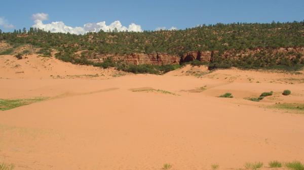
I had better photos than the one above but couldn't find 'em! Here's one showing the general terrain:
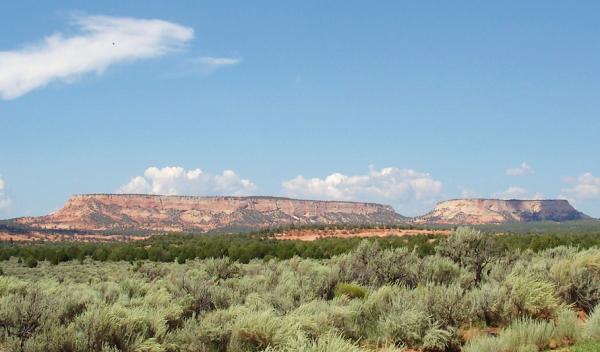
In the foreground you see sage brush; the darker green in the middle of the photo is juniper trees. The road is paved until you arrive at the Arizona line. For some reason, Arizona refuses to pave it.
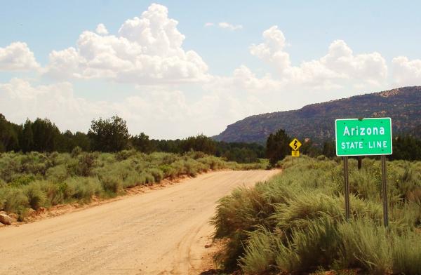
From here it's four miles of often badly rutted unpaved road until you reach the highway that then takes you through the polyg communities and on through Hurricane to St. George.
once but it didn't work for me.