


Seven months after the flood, they finally had a meeting to talk about what needs to be done to make the river more resilient in future high water events. They explained to us that we had been in a big flood, and read Powerpoint slides to us that listed the sorts of damage experienced, but no photographs to define what they were talking about.
I would have liked to have seen pictures of post-flood damage and have an expert describe what caused that result.
For example, the floodwater came around the bend carrying sediment - sand and rocks the size of footballs. The bend slowed it down, and it lost energy so the sediment was deposited in the river, making a new island.
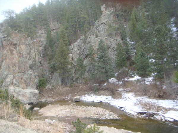
If the river channel ends up being very broad with lots of these islands, it's called a braided channel, and is not considered a good thing.
I learned all this by going to workshops, seminars and online research. Too bad these goofballs think we're all so dumb we didn't know we were in a flood, and wasted 2 hours of our time describing it.