Note the hairpin turns on the left side of the map.

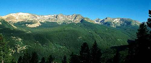
It traverses Rocky Mountain National Park from Estes Park, Colorado in the east to Grand Lake, Colorado in the west. It crosses the Continental Divide at Milner Pass (elev. 10,758 ft/3,279 m) and reaches a maximum elevation of 12,183 ft (3,713 m), near Fall River Pass (elev. 11,796 ft/3,595 m). Near the highest point on the road is another pass, Iceberg Pass (elev. 11,827 ft/3,604 m).
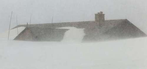
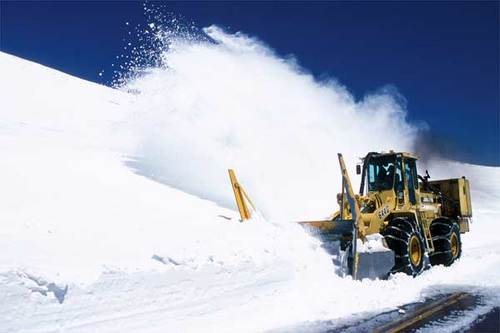
Trail Ridge Road is closed during the winter, and often remains closed until late spring or early summer depending on the snowpack.


This is the same building as above.

Trail Ridge Road is one of the ways to get across the mountains. We drove it before dawn one time going to Las Vegas, and there are places where you can see all the way to the cities on the plains, which means if you were down in the flat lands looking up at the mountains, and had the eyes of an eagle, you could see Trail Ridge Road.
It's better in the dark if you are scared of heights because there are some sheer drops off the side of the road and no shoulder. But of course then you'd miss the view.


